January 11, 2020 - Cape May - Southern New Jersey

Upon my arrival at the Skypark today was a new plane on the tie-down line:  an RV-4 with shark mouth nose!  Excellent!
   
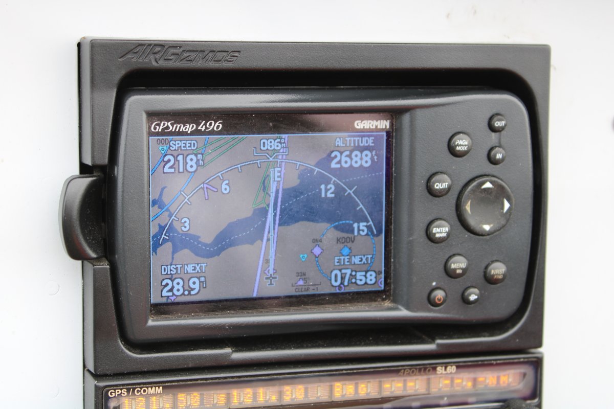
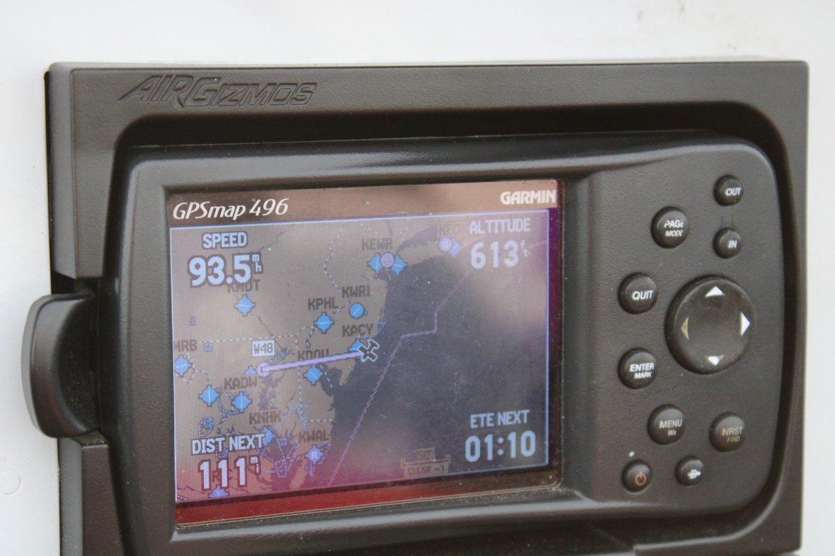
Bruce B. would have flown with me today but he was down with the crud.  I hadn't flown in at least 3 weeks and really felt the need, the need for speed.   (Top Gun Sequal coming out this summer -- all right!)  Generally weather was OK, not too cold, high ceilings.  But the forecasted wind was not the best: gusts over 20.   It was down the runway so I wasn't too worried about it.  The wind turned out to be not nearly so bad as forecast:  a steady 12 knots from the south.  Not a problem at all.  Aloft, winds were considerable.  I looked down at my groundspeed as I was crossing the eastern shore and was surprised to see 218 mph at only 2100 rpm.  But it was bumpy in spots, even at 2,500 feet.
 
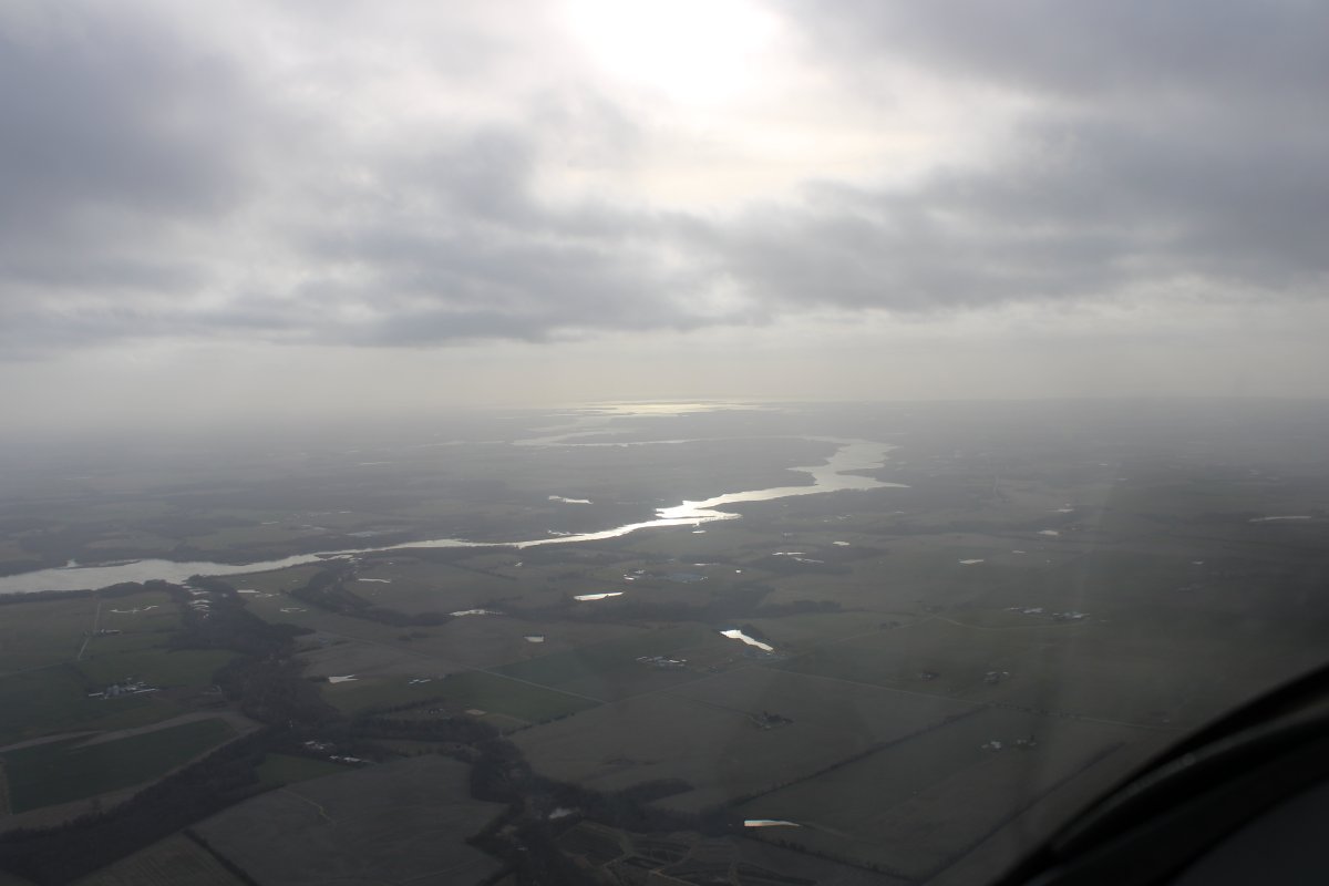
The plan was to fly down the east side of the Delaware River and Bay to Cape May, stop and have a late breakfast, then fly the Jersey Shore to Atlantic City and back.
   
Still over Delaware, just north of Dover, and looking down at some wild swamp-river patterns.
   
Just about to go feet wet crossing the Delaware River.  (Historical note:  this is NOT where George Washington and his Continental Army crossed the Delaware River to surprise the Hessians at Trenton)
   
Now I'm on the Jersey side looking southeast.
   
Looking southeast with Cape May out of sight in the distance and Delaware Bay on the right.  This southern coast of New Jersey is mostly marsh.
   
Looking at the Cohansey River winding its way from the Delaware Bay to the east.
   
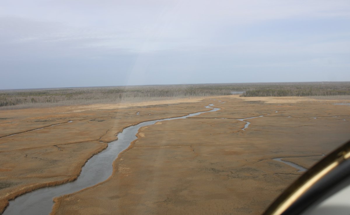
I didn't think I'd be able to fly low because of the turbulence but I decided to give it a try.  As I descended it remained smooth so I continued my descent.
   
The first time I flew this area I was amazed that people live out here on the coast.  This area is really remote.
   
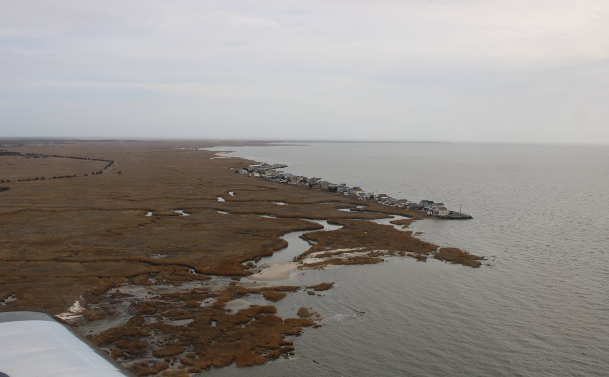
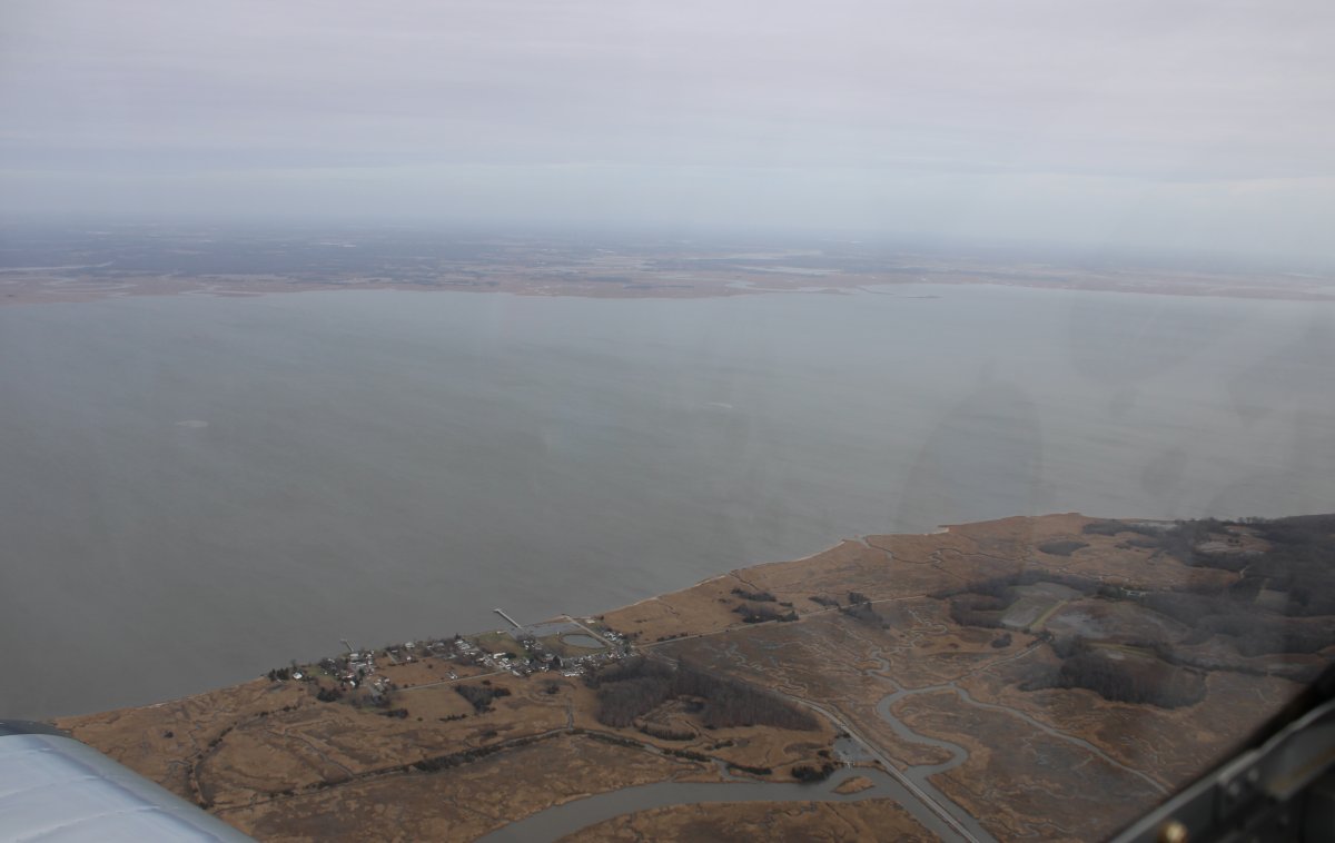
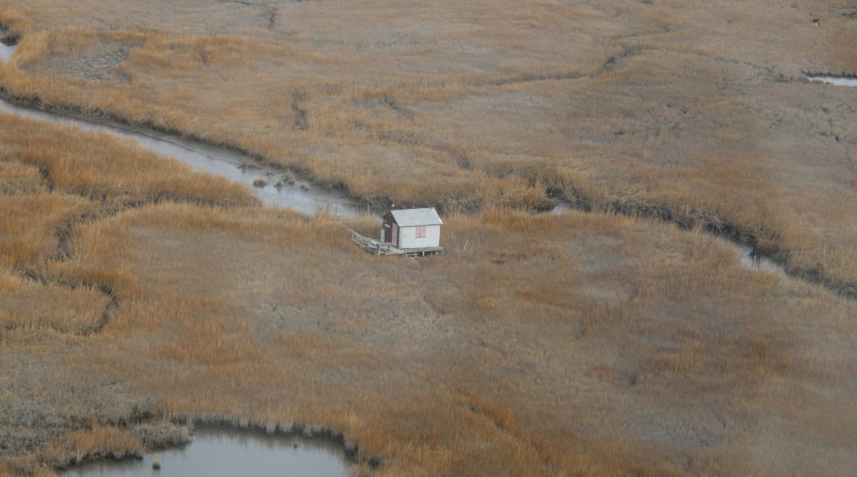
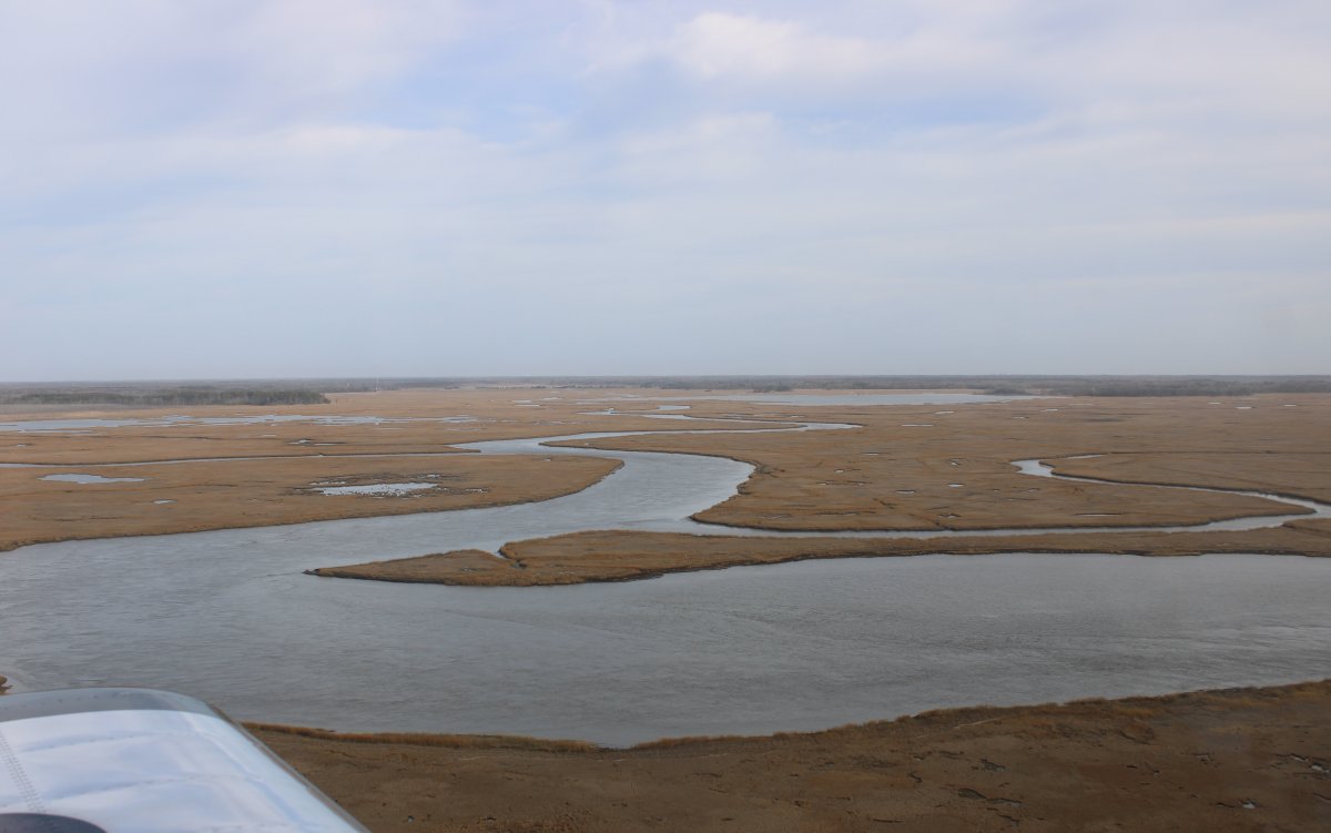
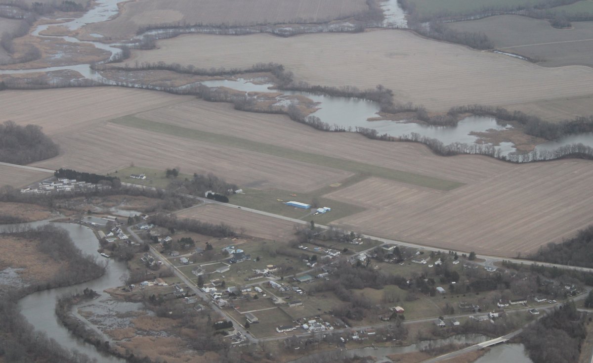
All the houses are on stilts.  I guess they have to be in case the water rises in the Bay.
   
Notice anything unusual in this picture?
   
The air was very smooth and I enjoyed seeing the marsh up close and personal.
   
A single-room shelter, accessible only by boat.  It's hard to see in this picture but a bald eagle is sitting on one end of the roof.
   
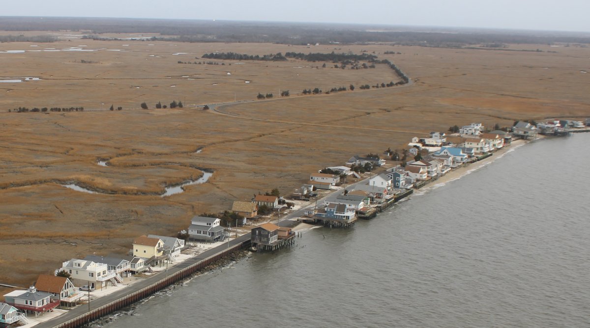
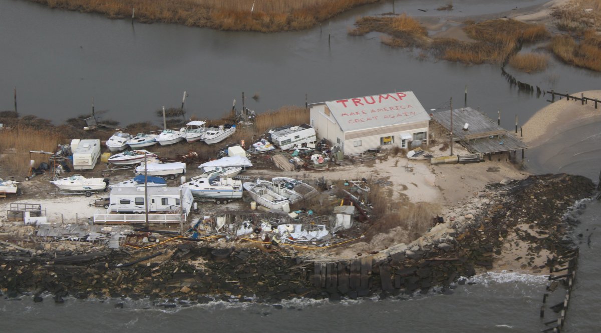
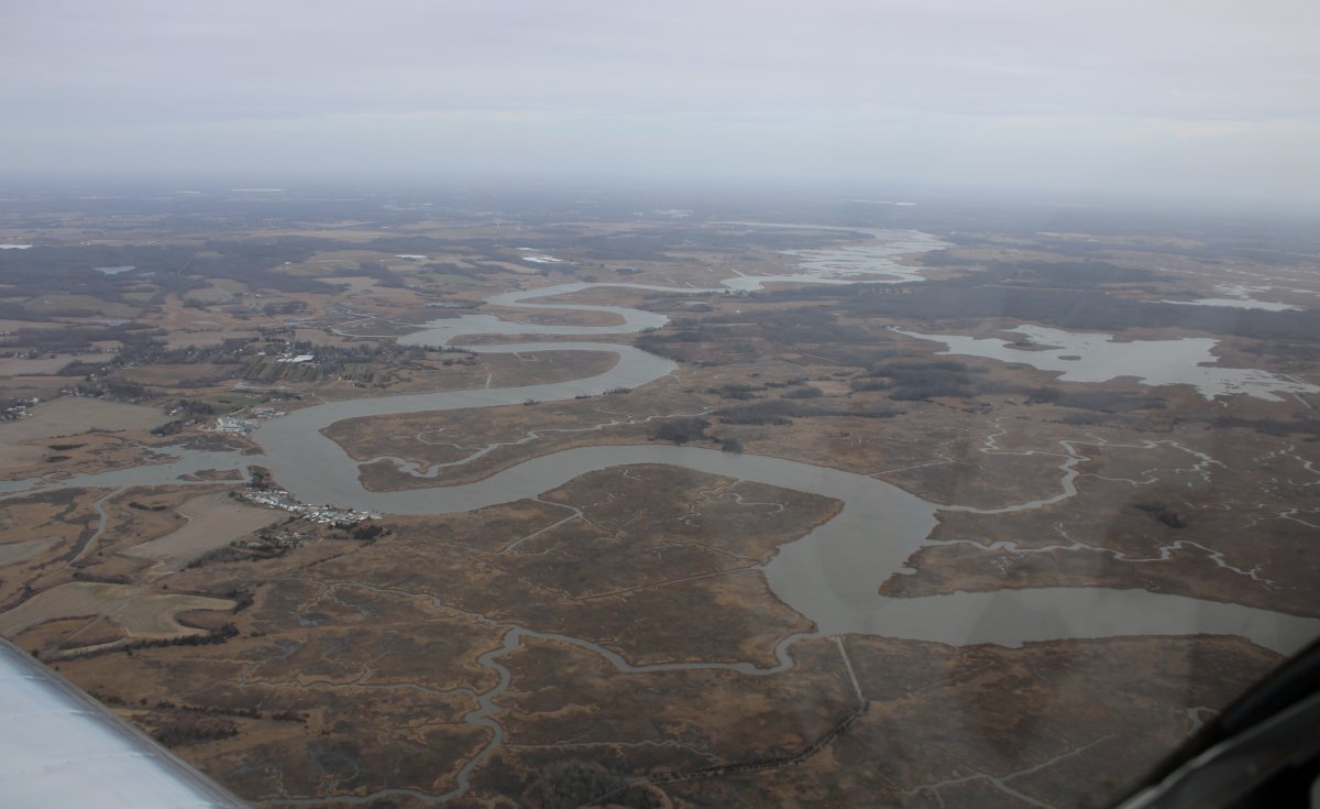
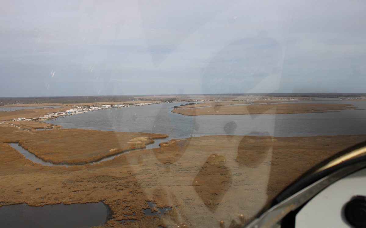
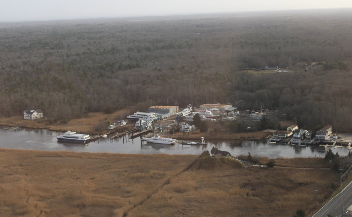
More civilization out at water's edge.
   
Very scenic, even in winter.
   
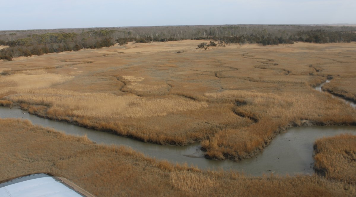
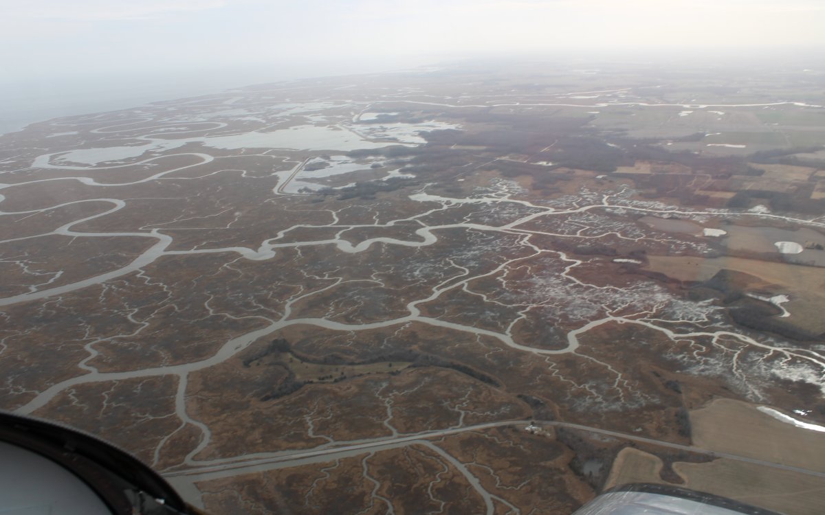
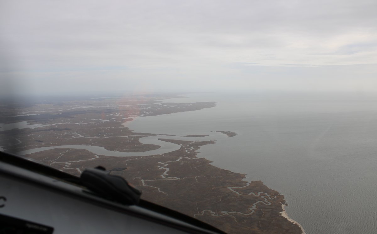
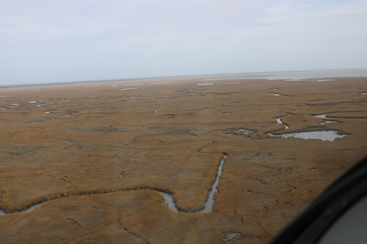
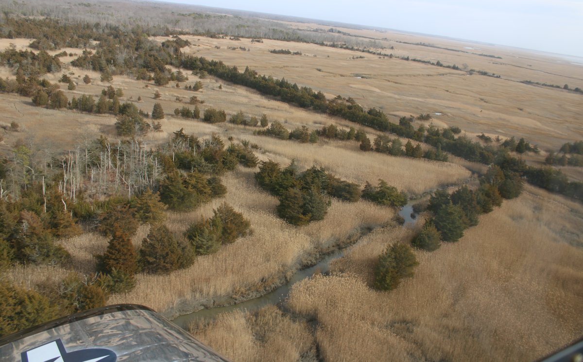
This area really stood out for its beauty.  I'm not sure why.  I think it's the tall reeds intermingled among the trees and water.
   
Cruising along.  No kayakers out today.


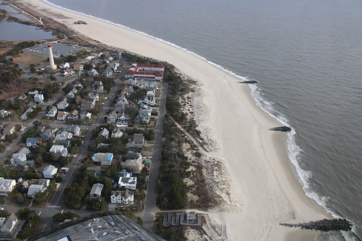
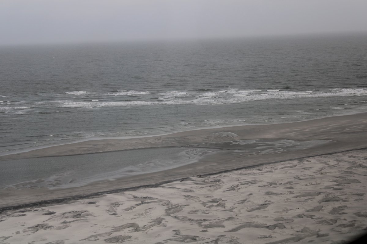
Approaching Cape May, looking east.  The Atlantic Ocean is visible in the distance.
   
Cape May Airport is visible off my right wing.  The wind was coming from the south at 12 knots but Cape May's runway 19 was perfect for the wind.
   
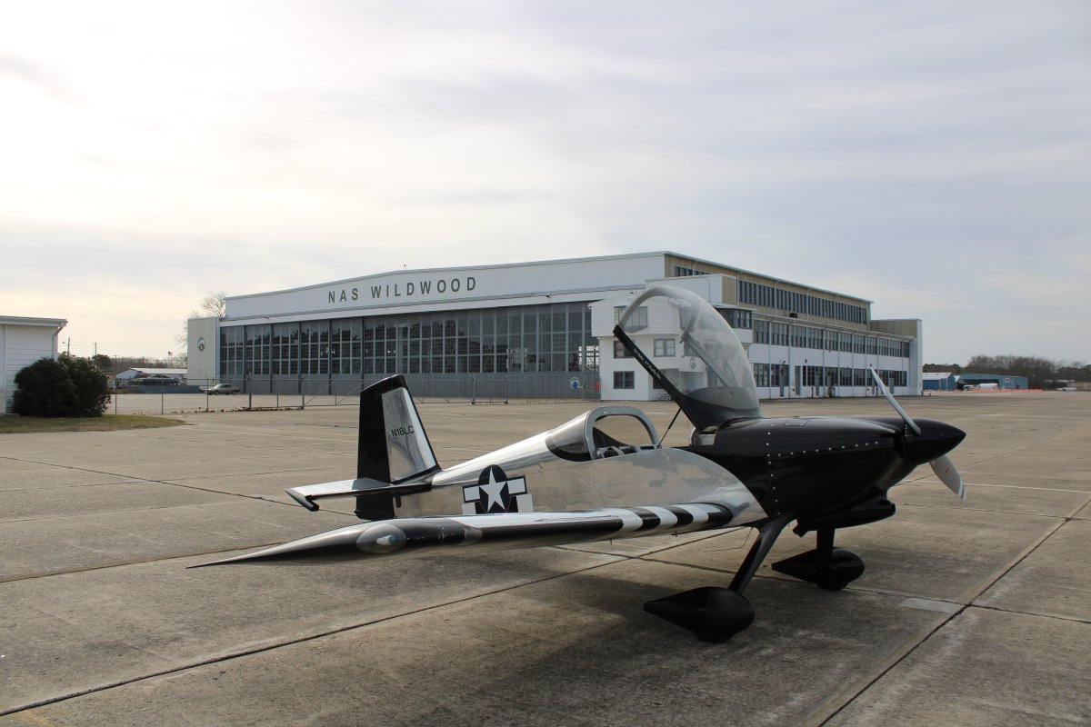
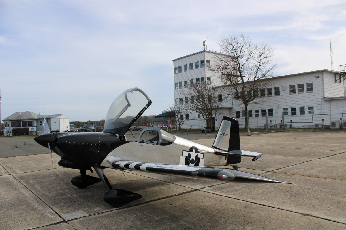
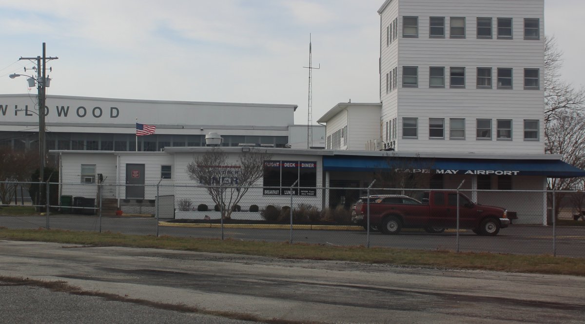
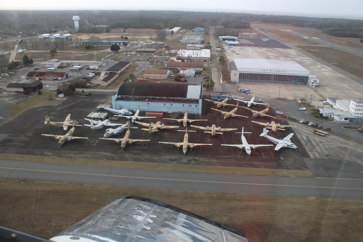
My plane lands easier with a good headwind so I made a good landing.  Here I'm parked on the ramp in front of the Flight Line Diner and also the NAS Wildwood aviation museum.
   
The Diner is in the building to the right.
   
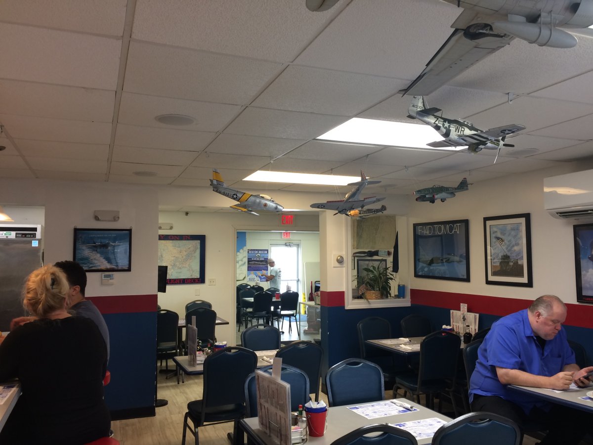
Inside the Flight Line Diner.  I love the model planes they have hanging from the ceiling and aviation art on the walls.
   

I had Eggs Benedict for breakfast and it was perfect.  The best I've had at a restaurant in a long time.  Of course, I was hungry which probably had something to do with it.

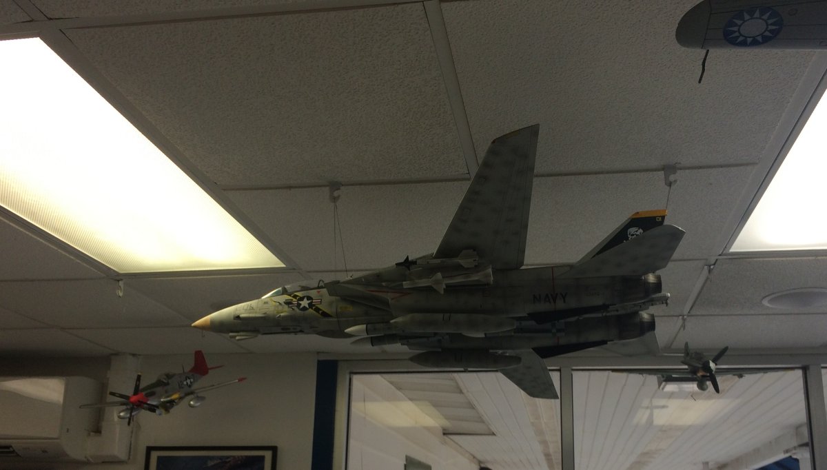
What I'd have done to have a model of the F-14 Tomcat like this when I was a kid!

   
Taxiing by the Flight Deck Diner.
   
To check out the de Havilland Canada DHC-4 Caribou that have been here forever.
   
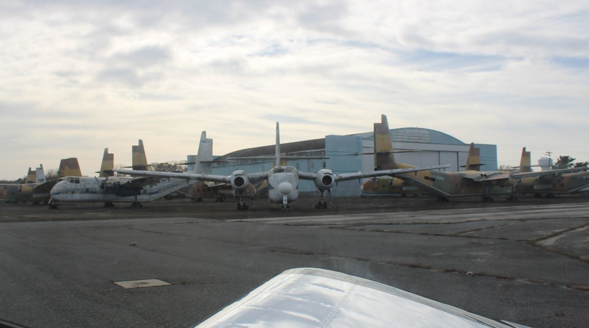
Taking off on runway 19 and looking down at the Caribous.
   
Looking south with the Cape May Lighthouse in the foreground.
   
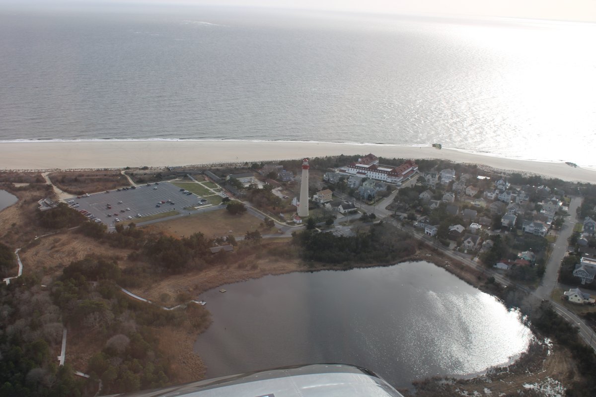
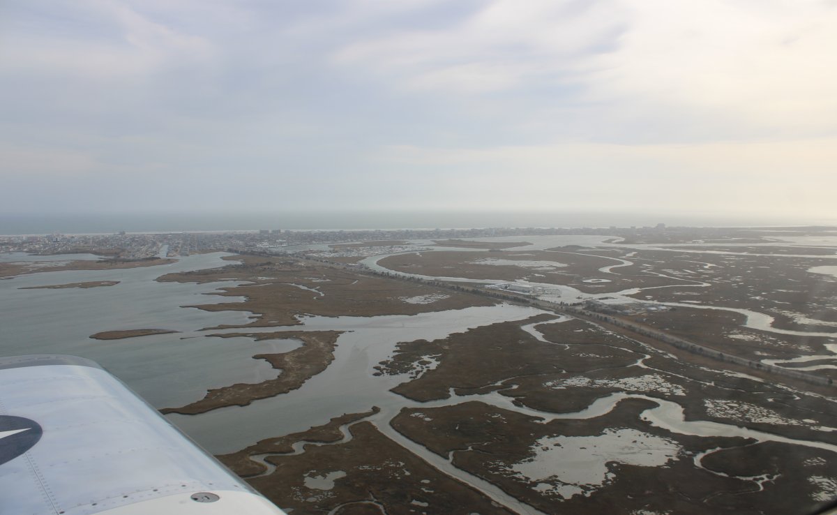
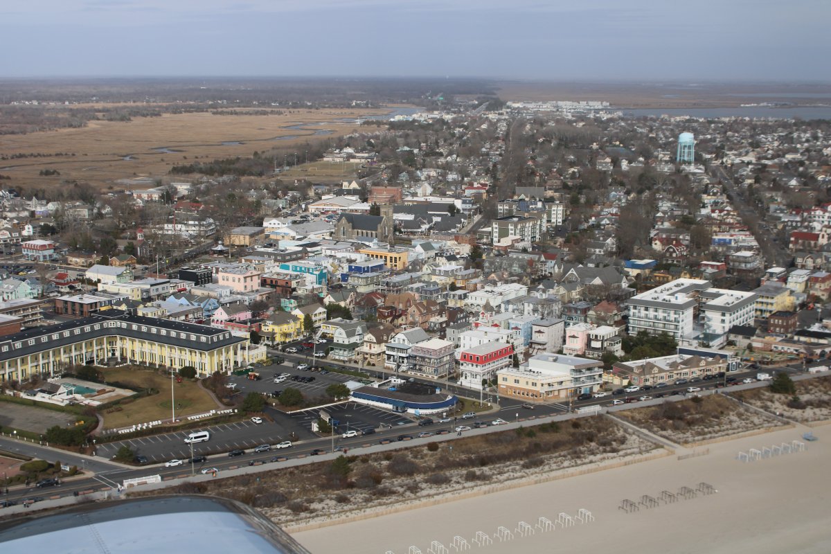
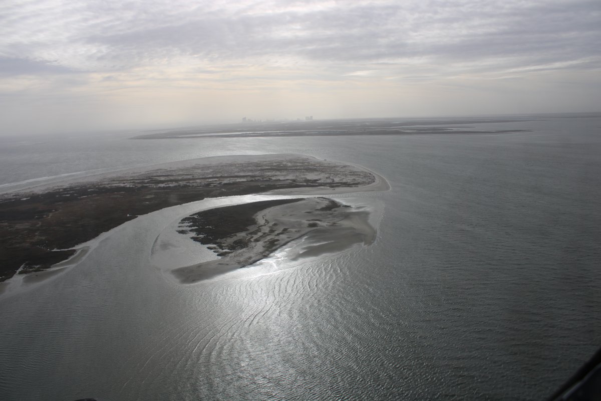
Rounding the tip of Cape May about to head north up the Jersey Shore.
   
Looking down at Battery 223 which was built during World War II and was designed to host a 6-inch battery.  On the other side of the entrance to Delaware Bay, at Cape Henlopen, they had a 16-inch gun battery!  It's amazing what you can find out from Google Maps and Wikipedia.
   
Cruising by the heart of Cape May.
   
And then up the Jersey Shore.
   
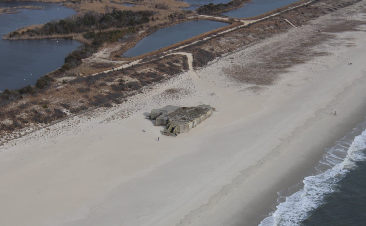
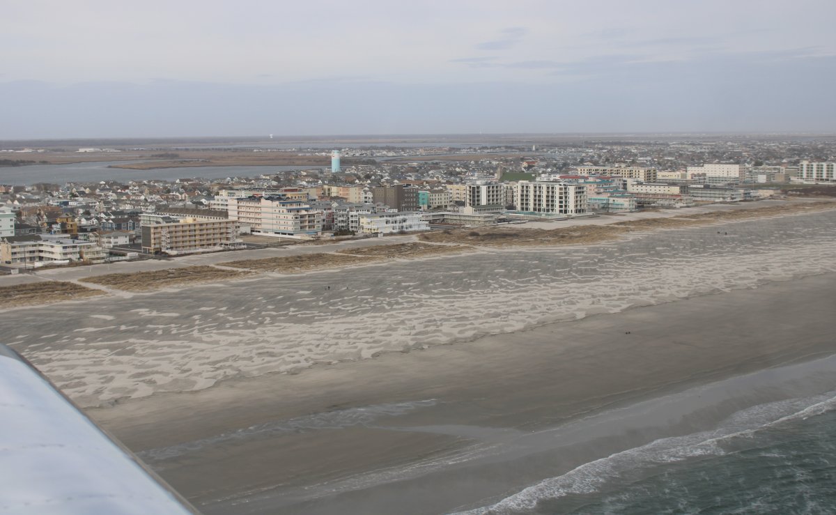
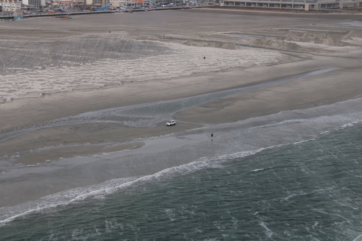
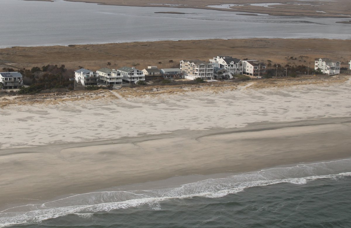
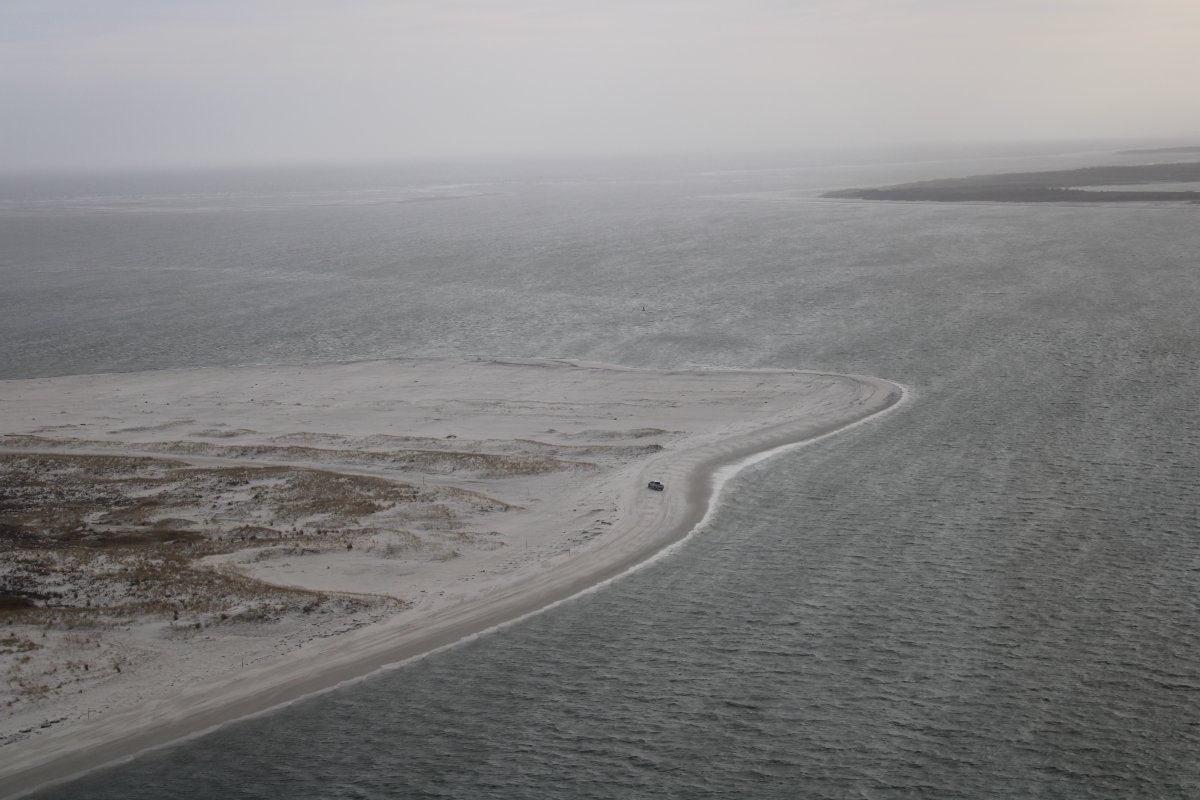
The wide beaches were mostly empty but there were a few people out walking enjoying the unusually nice day for January.
   
That's a brave man to risk his SUV on beach so close to the water.
   
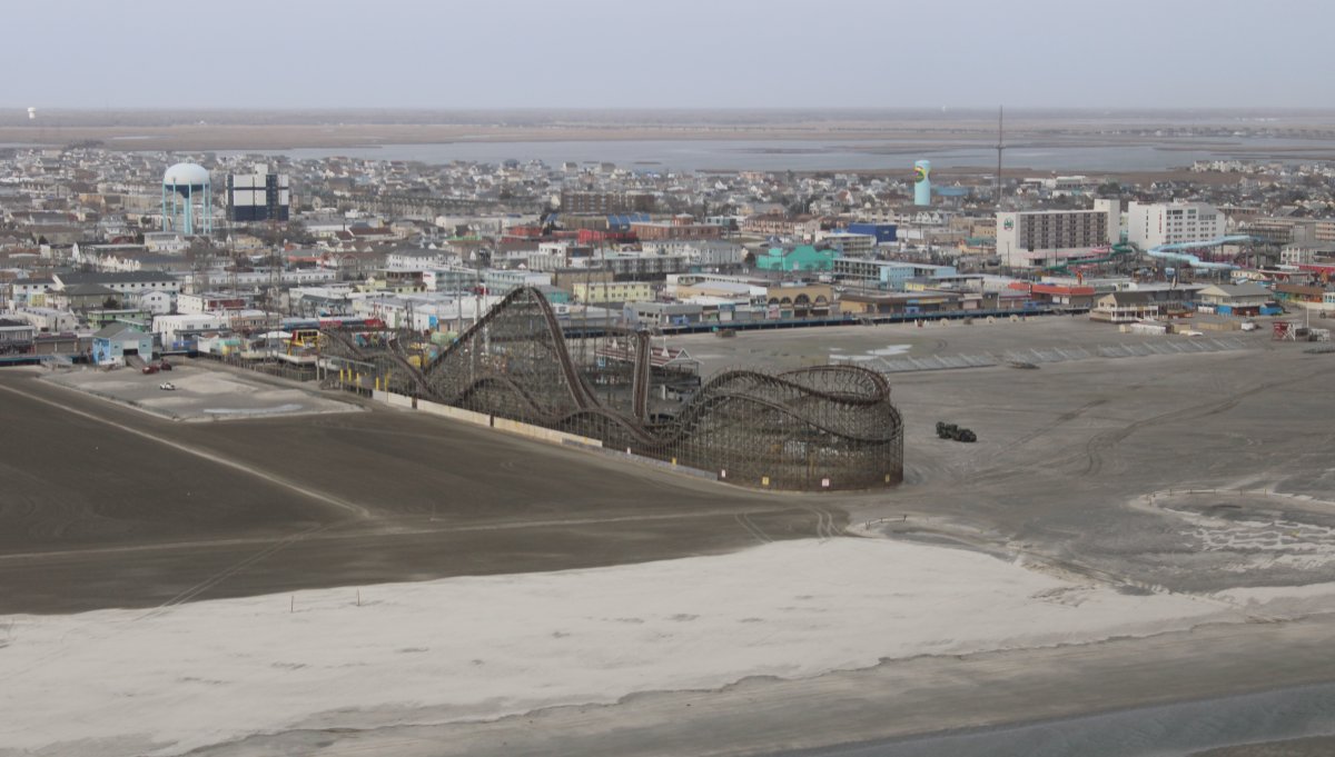
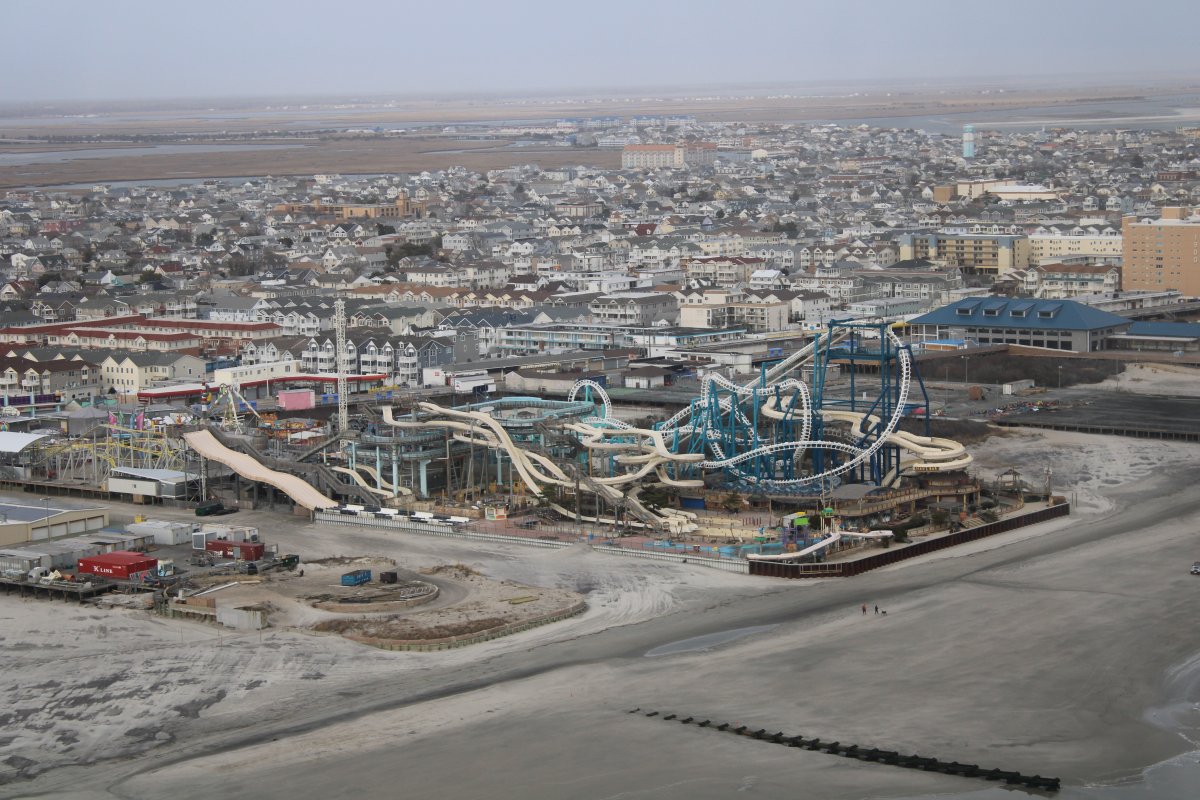
Passing by an old wooden roller coaster.
   
Followed soon after by an amusement/water park.
   
And then another water/roller coaster park.
   
Some beach houses with the Ocean in front and a bay behind.
   
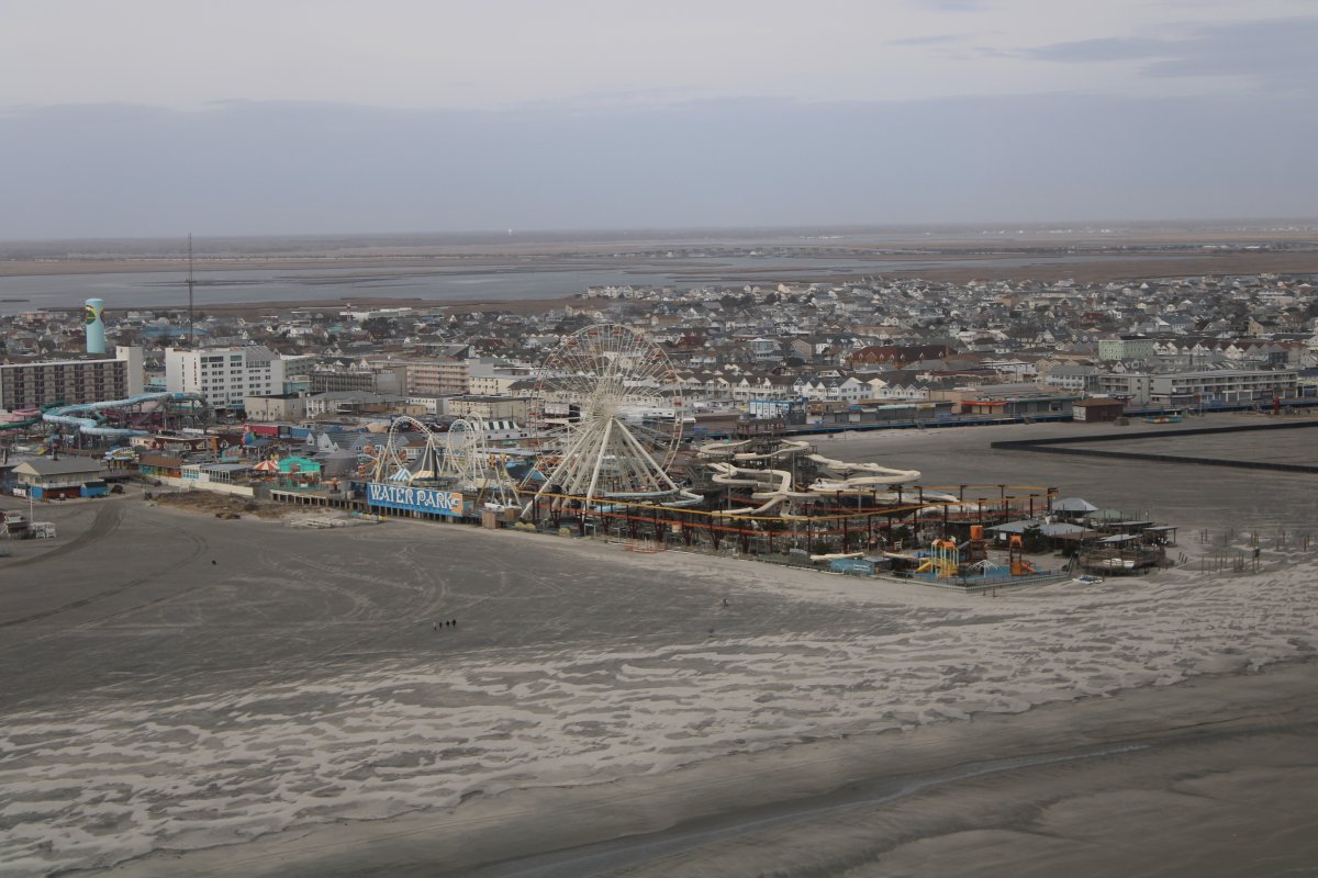
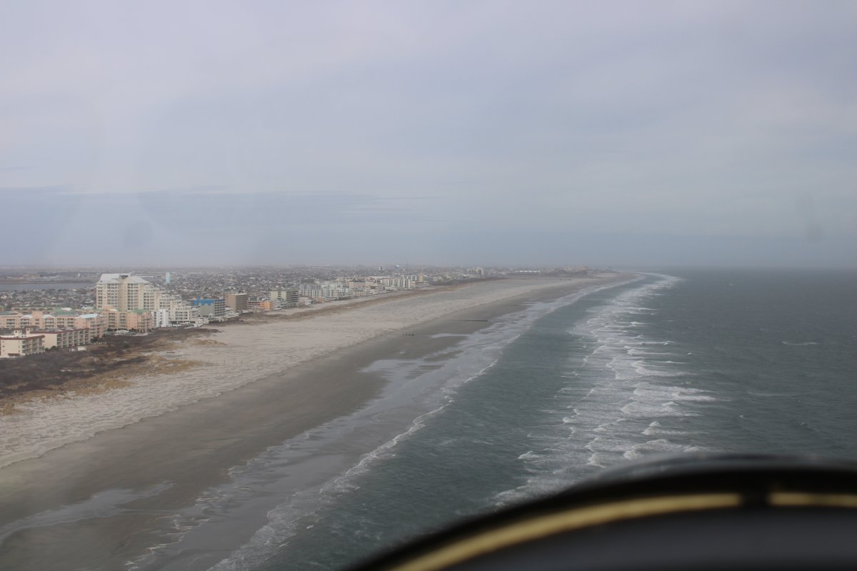
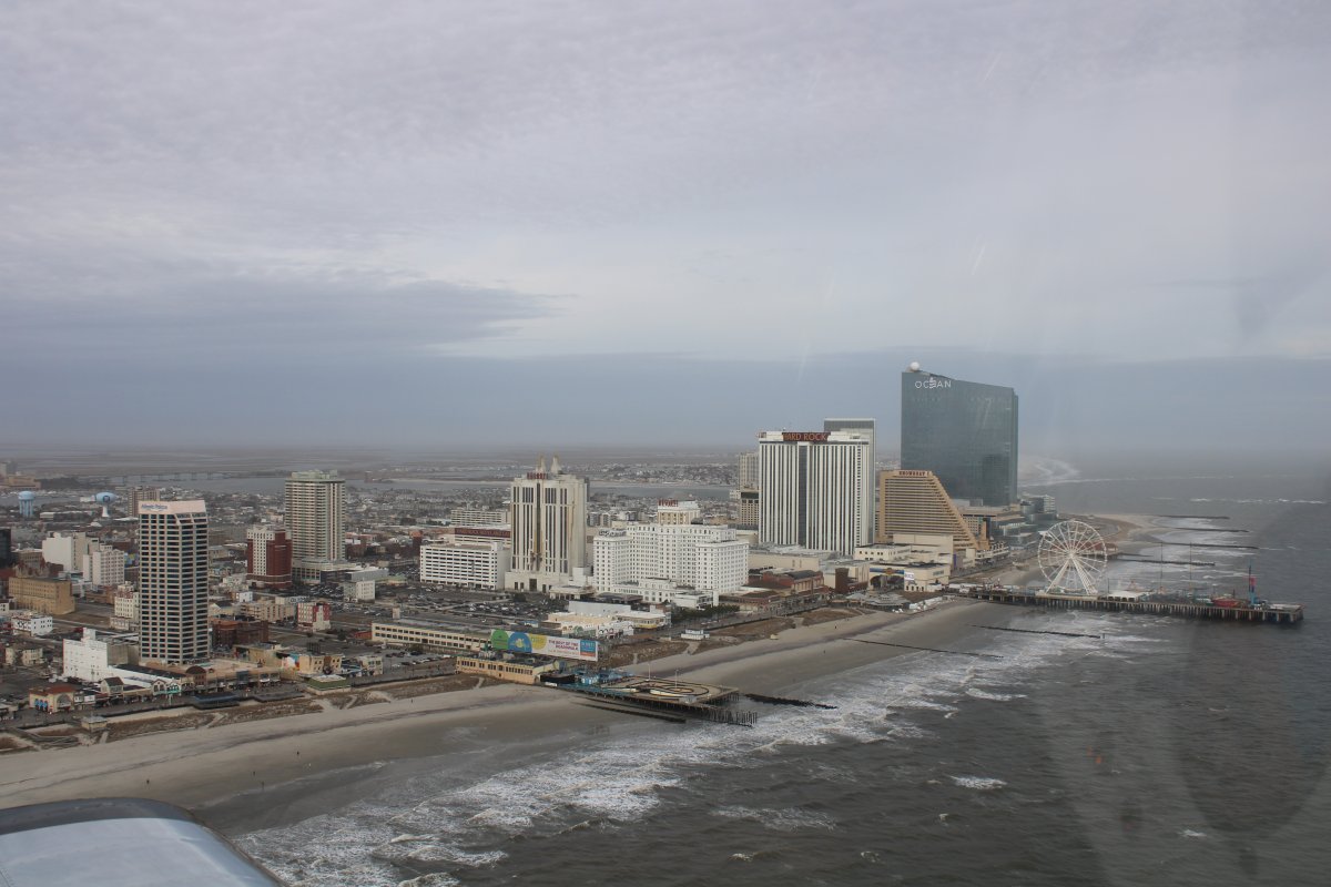
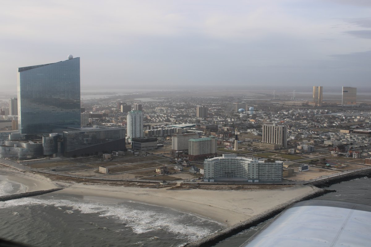
Approaching Atlantic City.
   
Passing by Absecon Inlet with the Brigantine Bridge visible in the distance, along with Harrahs, the Golden Nugget and the Borgata casino hotels.
   
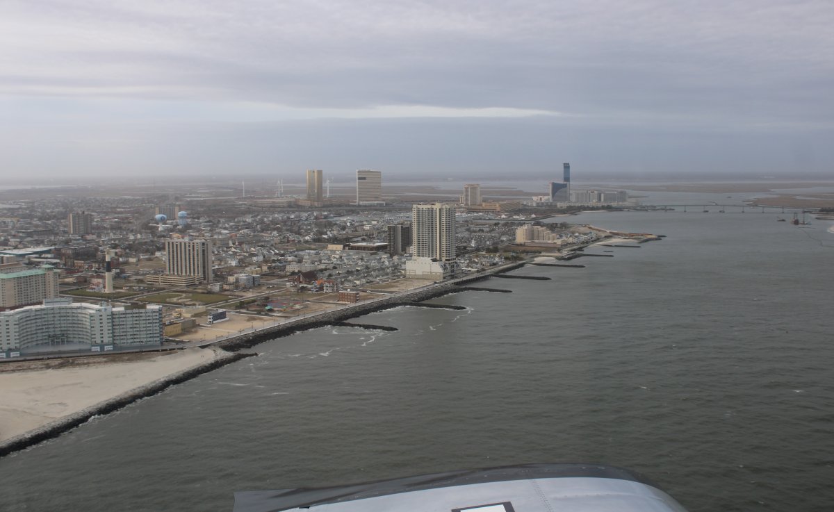
I continued northeast up the beach past Brigantine Island, Breat Bay and Beach Haven, then turned around.  Now I'm heading southwest.  The Atlantic City skyline is just visible through the haze in the distance.
   
A solitary SUV parked on the southwestern tip of Beach Haven.
   
A pretty view of beach and ocean.
   
Recreating the view out my side window back when I flew in the P-3 Orion as a Tactical Coordinator.
   
Wow, now I pay the price for the winds on the transit home.  I was throttled back to 1900 rpm to save gas at this point.  But still, 93 mph in the RV?  Ridiculous!
   
Passing by Atlantic City again.
   
Passing by Mosquito Landing on the Tuckahoe River, heading west northwest for home.  Looks like the build or repair ferry boats down there.
   
Am I flying over Michigan's tree-covered Upper Peninsula?  Nope, South Jersey.
   
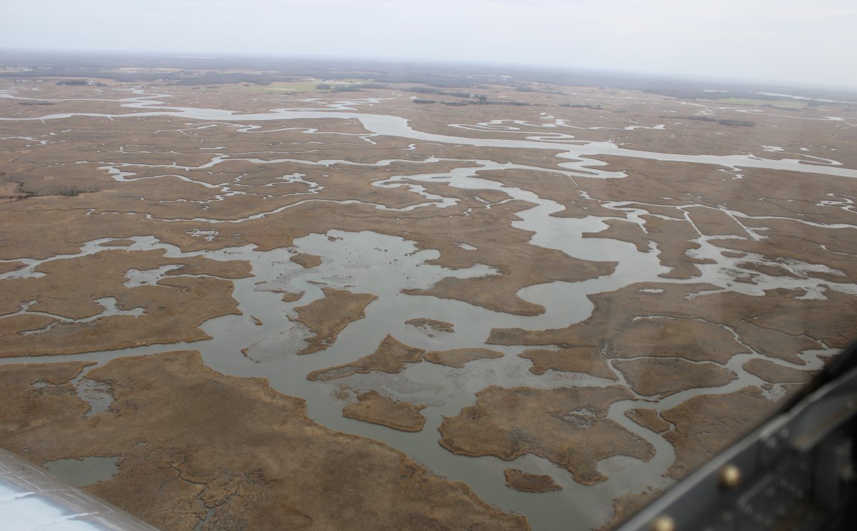
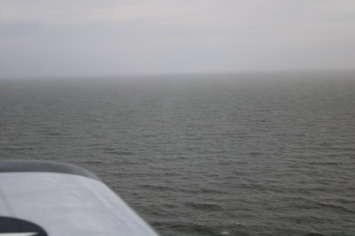
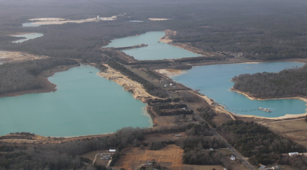
Am I flying over the Bahamas?  Nope, South Jersey.
   
Is this Crater Lake in Oregon?  Nope, South Jersey!
   
Am I flying over the Great Sand Dunes in Colorado?  Nope, South Jersey.
   
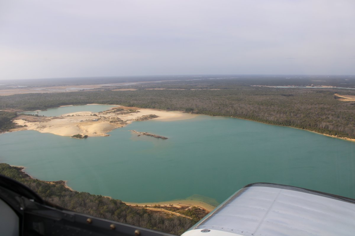
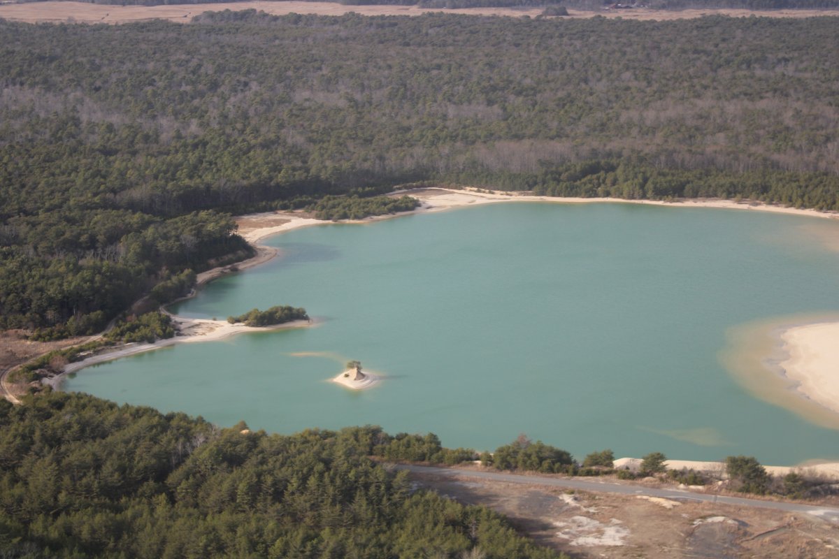
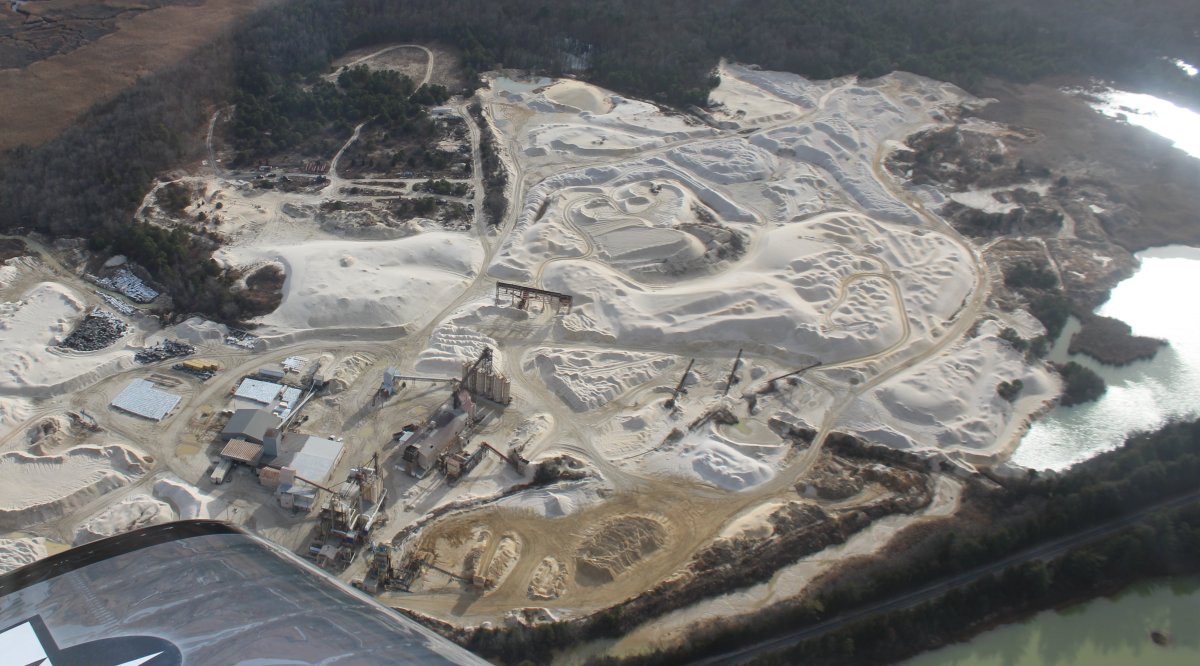
More Bahama-like lakes.
   
I crossed the Delaware River and am now passing by Smyrna Airport, a grass strip in Delaware.  I used to like shooting landings here in the Citabria but have only landed once in the RV.
   
Looking northwest at the Sassafras River.
   
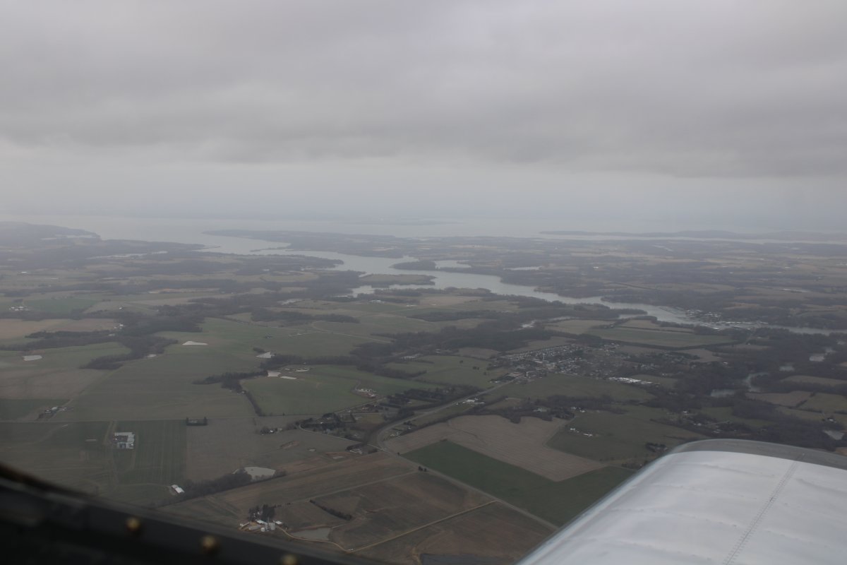
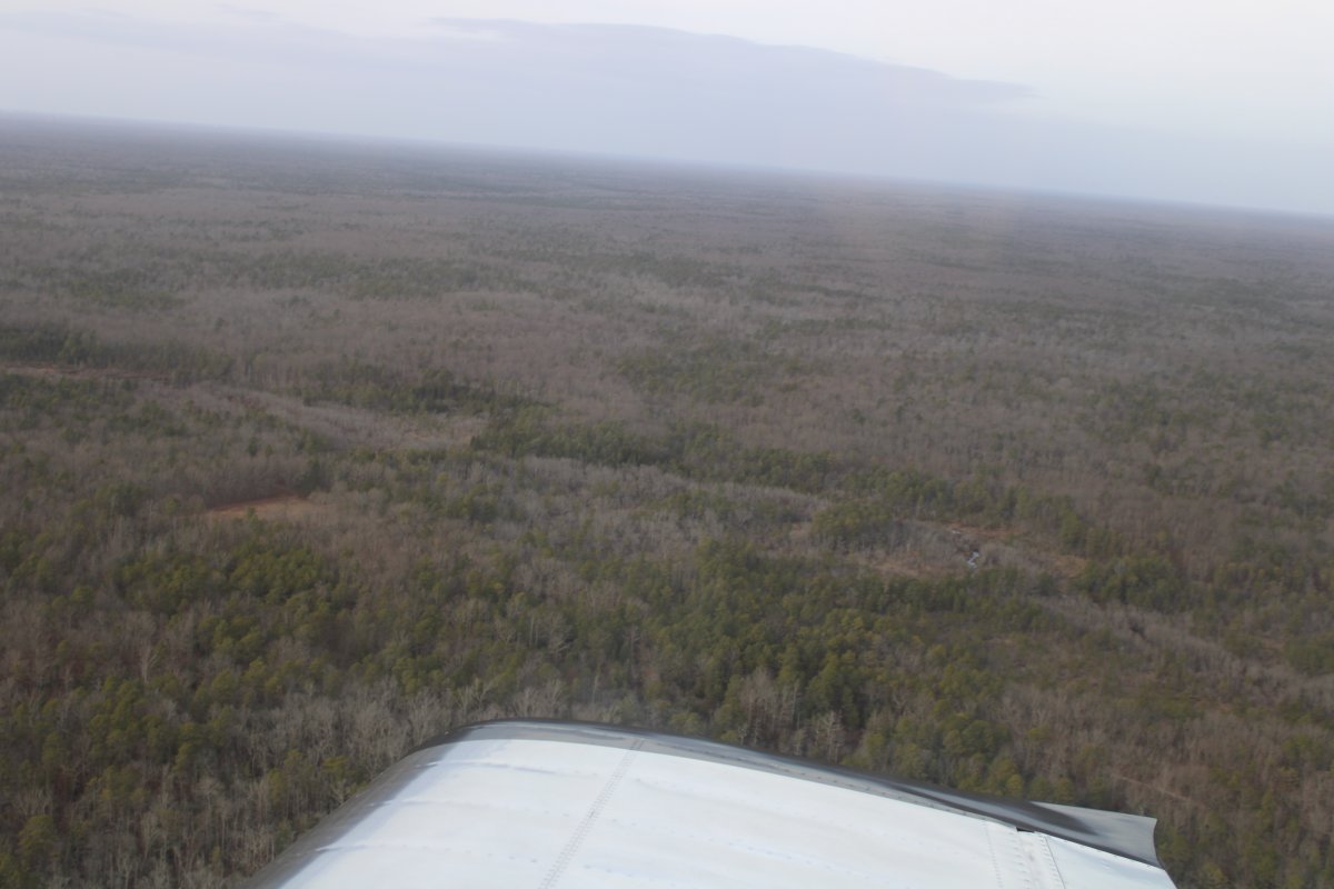
And southwest at the Chester River.  The plane knows its way home from here ...  Fun day.  Good to be flying again.


Previous
Home
Next